


Long Island, NY - January 29, 2019 - Winter has certainly been making its presence strongly felt on Long Island recently, and according to the National Weather Service, it’s about to get even chillier, with rain, snow, and temperatures in the teens or even lower in the forecast by the end of the week.
Tuesday started out gloomy with cloudy skies with highs in the low-to-mid 40’s, but that is set to change over the course of the afternoon and into the evening, as rain is expected to creep into the forecast before switching over to snow during the night. However, little or no accumulation is expected, NWS reports, although up to an inch of snow is possible in some areas depending on prevailing weather patterns.
Very light snow was reported in various regions of Long Island this morning, but again, there was no accumulation.
Rain is anticipated to begin after 2 p.m. this afternoon, NWS says, and it is possible that this will transition partially over to snow for a wintery mix during the evening commute; this is expected to especially affect the western region of Long Island. The forecast is for rain to continue until at least midnight, at which time it is likely that it will switch over to a brief period of snowfall with overnight lows in the 20’s. This will possibly result in icy conditions come Wednesday morning, and motorists are urged to be cautious during the morning commute if this is the case.
Wednesday sees temperatures with highs projected in the low 30’s and heavy winds, with a chance of more precipitation in the late afternoon/early evening possible, including the possibility of snow.
However, the bigger news is the very cold air mass that is trailing the precipitation; expected to hit the Long Island area on Thursday, NWS are stating that temperatures will drop into the single-digits in the morning with a high for the day only in the mid-teens…and that’s before taking wind chill factors into consideration, which should produce frigid, potentially dangerous conditions. Residents are cautioned to heavily bundle up if they need to head outdoors on Thursday to avoid hypothermia and frostbite.
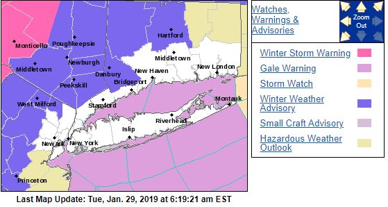
Photo Credit: National Weather Service
Here is the official weather forecast for the remainder of the week, as per the NWS:
- This Afternoon: Rain likely, mainly after 2pm. Cloudy, with a high near 42. South wind 11 to 13 mph, with gusts as high as 23 mph. Chance of precipitation is 70%.
- Tonight: Rain before 1am, then a chance of snow between 1am and 4am. Low around 22. Wind chill values between 15 and 20. South wind 11 to 14 mph becoming west after midnight. Winds could gust as high as 24 mph. Chance of precipitation is 100%. Little or no snow accumulation expected.
- Wednesday: Scattered snow showers after 1pm. Increasing clouds, with a high near 31. Wind chill values between 10 and 20. Breezy, with a southwest wind 14 to 19 mph increasing to 20 to 25 mph in the afternoon. Winds could gust as high as 43 mph. Chance of precipitation is 40%.
- Wednesday Night: Mostly clear, with a low around 6. Wind chill values between -10 and zero. Breezy, with a west wind 15 to 22 mph, with gusts as high as 43 mph.
- Thursday: Sunny and cold, with a high near 17. West wind around 16 mph.
- Thursday Night: Mostly clear, with a low around 10.
- Friday: Mostly sunny, with a high near 25.
- Friday Night: Partly cloudy, with a low around 17.
- Saturday: Sunny, with a high near 32.
- Saturday Night: Partly cloudy, with a low around 25.
- Sunday: Mostly sunny, with a high near 42.
- Sunday Night: Mostly cloudy, with a low around 34.