


Long Island, NY - March 1, 2018 – Weather in our region has been all over the map in recent weeks, ranging from near spring-like bouts of warmth to blizzard-like conditions and nearly everything in-between. And once again, the forecast is calling for yet another fairly extreme shift in local conditions in the form of heavy rain and wind for this upcoming weekend, according to the National Weather Service (NWS).
A nor'easter is due to hit Long Island from Friday until Saturday morning, which is expected to bring gusts of wind as powerful as 60-70 miles per hour and up to 3.5 inches of rain in some areas; this could result in as much as 2-3 feet of flooding in coastal regions, the NWS says. In addition, the forecast calls for the rain to possibly transition into snow at some point, with a small chance – approximately 10 percent – of accumulation in the amount of 1-3 inches.
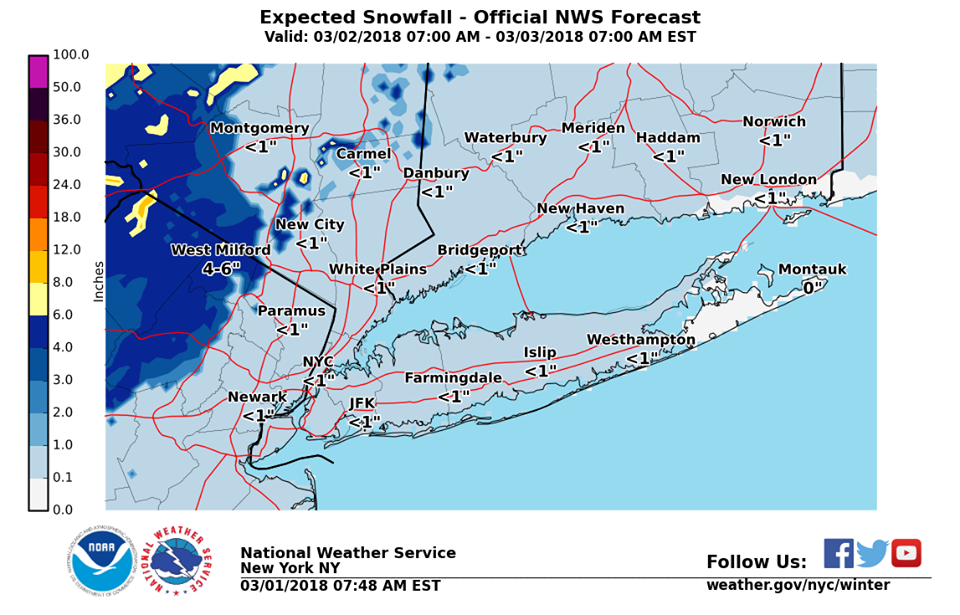
Photo Credit: NWS
The NWS has issued the following warnings/watches for our area in reaction to the impending nor'easter:
- A flood watch is in effect from 6 a.m. Friday to 6 a.m. Saturday for all of Long Island.
- A coastal flood warning is in effect from 6 a.m. to 11 a.m. Friday for southern Nassau County.
- A high wind watch is in effect from 7 a.m. Friday to 6 a.m. Saturday for Nassau and western Suffolk County.
- A high wind warning is in effect from 7 a.m. Friday to 6 a.m. Saturday for eastern Suffolk.
The NWS has released the following statement regarding the nor'easter and its expected impact upon the Long Island region, noting that residents should expect and prepare for power outages; in addition, they advised caution when traveling – especially in low-lying coastal areas, where flooding is most likely – and urged residents to do so only when absolutely necessary.
"Damaging winds will blow down trees and power lines. Widespread power outages are expected. Travel will be difficult, especially for high profile vehicles,” the NWS said. "There is potential for several tidal cycles of widespread flooding of vulnerable areas near the waterfront and shoreline. Two to three feet of inundation above ground level in low lying, vulnerable areas is possible. This would result in numerous road closures and cause widespread flooding of low-lying property including parking lots, parks, lawns and homes/businesses with basements near the waterfront. Vehicles parked in vulnerable areas near the waterfront would become flooded."

Photo Credit: NWS
The complete, day-by-day forecast for this weekend is as follows:
- This Afternoon: A 30 percent chance of rain, mainly after 5pm. Mostly cloudy, with a high near 55. East wind around 9 mph.
- Tonight: Rain, mainly after 7pm. Low around 39. East wind 9 to 17 mph. Chance of precipitation is 100%. New precipitation amounts between 1 and 2 inches possible.
- Friday: Rain and snow. Temperature falling to around 36 by 10am. Wind chill values between 25 and 35. Windy, with a north wind 16 to 21 mph increasing to 26 to 31 mph in the afternoon. Winds could gust as high as 55 mph. Chance of precipitation is 100%. New snow accumulation of less than a half inch possible.
- Friday Night: Periods of rain and snow, mainly before 3am. Low around 36. Wind chill values between 25 and 30. Windy, with a north wind 30 to 32 mph, with gusts as high as 55 mph. Chance of precipitation is 90%. New snow accumulation of less than a half inch possible.
- Saturday: A chance of rain and snow before 10am, then a chance of rain between 10am and 1pm. Partly sunny, with a high near 45. Windy, with a north wind 21 to 28 mph, with gusts as high as 45 mph. Chance of precipitation is 40%.
- Saturday Night: Mostly cloudy, with a low around 35.
- Sunday: Mostly sunny, with a high near 45.
- Sunday Night: Partly cloudy, with a low around 32.
Residents should make sure they have flashlights, blankets, batteries, and ample food and water available in case of an emergency, officials say, in addition to an evacuation plan if flooding becomes a serious issue in their area.
PSEG Long Island has issued a statement indicating their readiness in the face of any potential power outages that may occur during the storm, noting they they regularly prepare in anticipation of such events.
“PSEG Long Island works throughout the year to prepare for extreme weather and to make sure the energy grid is reliable,” they said. “We are continually trimming trees away from power lines, enhancing technology to detect outages and working on FEMA reliability projects across the service territory - all in order to provide greater reliability and to help prevent outages during storms.”
To report and receive status updates on an outage residents can text OUT to PSEGLI (773454) or to report an outage online, visit www.psegliny.com.