


The South Shore of Long Island is more than just the coastline open to the Great South Bay and the Atlantic Ocean. Most Long Islanders consider the South Shore to encompass the entire southern half of Long Island, beginning at the Long Island Expressway. Again, Long Islanders generally agree that the south shore stretches from the western border of Nassau County to Montauk Point in eastern Suffolk, but there are some who feel that even the Rockaway Beaches of Queens County is also part of the South Shore.
It’s difficult to easily summarize the culture of the South Shore. Each town has its own identity, social identity and political leanings. Like the North Shore, there are some vestiges of the Gilded Age, including the country homes of the Vanderbilts (now Dowling College) and the Gardiners, and the Bayard-Cutting estate is now called the Bayard-Cutting Arboretum, which is open to the public six days a week.
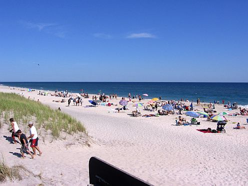
One of the most popular areas on the South Shore is the Hamptons, a world-renowned seaside resort. Several private, town, county and state beaches line the South Shore, and ocean side living plays a major role in the identity of the South Shore. Man-made channels provide boaters access deep into the mainland, and it is not uncommon for houses along these waterways to lack street parking, yet have boat garages.
Many ferries connect the South Shore to Fire Island, which like the distinct regions of the mainland, has a culture all its own. Primarily populated during the peak summer months, Fire Island attracts visitors from all over the world. Fire Island National Seashore is a 26-mile protected area that is also home to 17 private residential communities. The Sunken Forest of Fire Island is a globally rare maritime holly forest that is only found between sand dunes from Massachussets to New Jersey and attracts thousands of visitors each year from school children to ecologists and researchers.